By meteorologists Gustavo Frasson Verardo and Josélia Pegorim
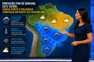
Climatempo warns of a new severe weather situation that should impact, between this Friday (12) and Sunday (14), areas of the central-west and north of Santa Catarina, Paraná, central-south of Mato Grosso do Sul and the state of São Paulo. The meteorological scenario is worrying, as the expected rainfall volumes may approach, or even exceed, the climatological average for the entire month of December in just three days.
In addition, recent rains have already left the soil saturated in many regions, which increases the risk of flooding, flash floods, sudden floods and landslides, especially in urban areas.
Low pressure formation intensifies storms
Meteorologists Gustavo Frasson Verardo and Josélia Pegorim report that the instability will be caused by the formation and intensification of a low atmospheric pressure system over Paraguay this Friday (12). This phenomenon is not related to the extratropical cyclone that acted in recent days and which is already moving away from Brazil, without influencing weather conditions.
The low pressure favors the channeling of hot and humid air coming from the North of the country towards Mato Grosso do Sul, Paraná and São Paulo. This flow of moisture acts as fuel for the development of very heavy clouds, with the potential for severe storms.
Regions at Highest Risk:
The areas most susceptible to severe storms include Paraná, the central-west and north of Santa Catarina, southern Mato Grosso do Sul, and border areas between São Paulo and Paraná. The risk map indicates regions with high levels of instability, with the potential for:
• Heavy and voluminous rain;
• Medium to large hail;
• Wind gusts between 80 km/h and 100 km/h;
• Numerous lightning strikes;
• Flooding and flash floods.
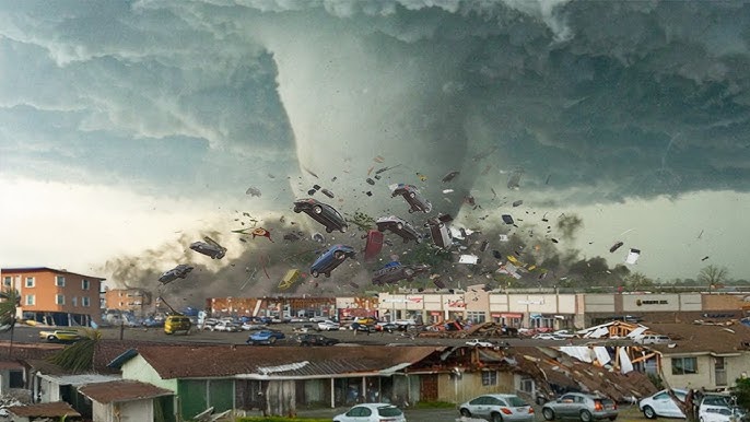
In western and southwestern Paraná, the occurrence of extreme phenomena, such as microbursts or even tornadoes, cannot be ruled out, although the probability is low. Meteorologists emphasize that this event is not similar to the one recorded on November 7th.
Rainfall amounts
are expected to accumulate between 150 mm and 200 mm from December 12th to 14th in central, western, and southern Paraná — equivalent to or exceeding the normal average for the entire month.
In northern Santa Catarina, southern and central-western São Paulo, and central, southern, and eastern Mato Grosso do Sul, accumulations should range between 100 mm and 150 mm during the same period.
These volumes are significant and can cause flooding, flash floods, and landslides.
It is worth noting that the current pattern does not resemble that of the November 7th event.