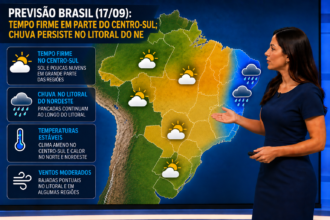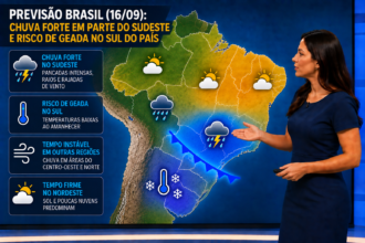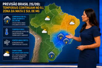
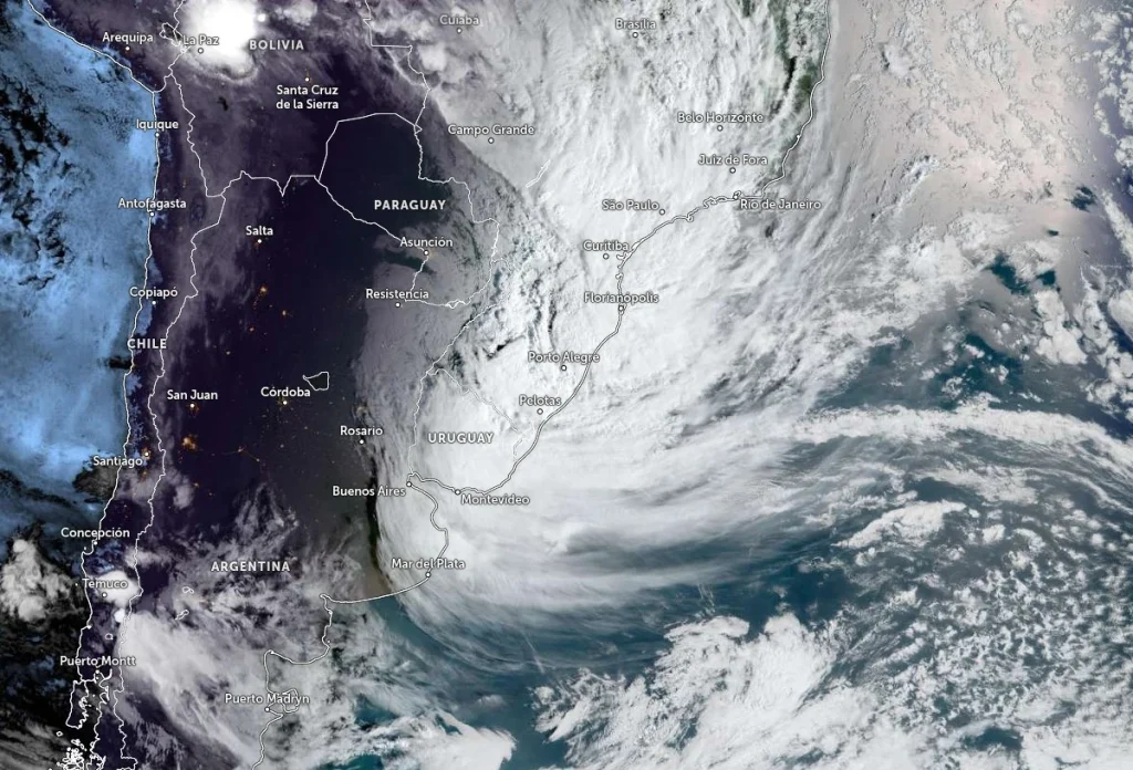
The weather forecast for Tuesday, December 16th, indicates a day marked by the passage of a cold front and the presence of heat and humidity at different levels of the atmosphere, favoring the formation of showers, isolated thunderstorms, and strong winds in various regions of the country. While parts of the South begin to experience improved weather throughout the day, the Southeast and Midwest are on alert for high rainfall volumes. In the Northeast, heat predominates, with instabilities more concentrated inland, and in the North, rain remains frequent and sometimes intense.
Southern Region – (RS, SC, PR): Cold front advancing with rain and strong winds.
This Tuesday, the cold front will bring showers from the early hours of the day to the north, northeast, Serra, northern and central coast of Rio Grande do Sul, as well as the Porto Alegre Metropolitan Region. In the morning, the rain will advance through Santa Catarina and much of Paraná, with moderate to heavy intensity and a risk of storms, especially between the coast of Paraná, northern Santa Catarina and northwestern Paraná. Throughout the day, the weather will become more stable in the west and south of Rio Grande do Sul, with sunshine prevailing, and by nightfall the instability will decrease in most of the region. Temperatures will decline and become more pleasant in RS and in inland areas of SC and PR. Wind gusts will vary between 40 and 50 km/h, possibly reaching 70 km/h along the coast.
Southeast Region – (SP, RJ, MG, ES): Heavy rain, storms, and high rainfall amounts.
Instabilities have been affecting the northwest, interior, and south of Minas Gerais since the morning. With the approach of a new cold front, the rain will spread across the region in a weak to moderate manner until the end of the morning, gaining strength during the afternoon. Moderate to heavy rain is expected in São Paulo, Rio de Janeiro, much of Minas Gerais, and southern Espírito Santo. There is a risk of storms in SP, RJ, the western and southern half of MG, and the extreme south of Espírito Santo. The situation is dangerous due to high rainfall amounts in eastern São Paulo, much of RJ, and the Zona da Mata region of Minas Gerais. The weather will be more stable in the rest of Espírito Santo and northeastern Minas Gerais. Temperatures remain high, and wind gusts will vary between 40 and 50 km/h, possibly reaching 70 km/h on the southern coast of São Paulo and in the Baixada Santista region.
Central-West Region – (MS, MT, GO, DF): Intense showers and risk of storms.
The cold front in the South channels moisture from the Amazon and causes showers from early morning in western and southern Mato Grosso do Sul, as well as southern, southwestern, eastern, and northern Mato Grosso. In Goiás, the instabilities occur in isolated areas. During the afternoon, the rain spreads throughout the region, with moderate to heavy intensity, a chance of storms, and high volumes, mainly in western, northwestern, northern, and inland MS and southern MT. Temperatures decrease slightly in MS, becoming more pleasant, as well as in areas of MT and southern GO. Wind gusts vary between 40 and 50 km/h, possibly reaching 70 km/h in western MS and the extreme south of MT.
Northeast Region – (BA, SE, AL, PE, PB, RN, CE, PI, MA): Predominant heat and rain inland
. The weather remains stable in most of the Northeast. However, there is moderate to heavy rain in western and southwestern Bahia, the southern half of Maranhão, much of Piauí, southern Ceará, western Paraíba, and the far north of Pernambuco. Rain is lighter along the northern coast and the coast of RN, PB, PE, and AL. Heat predominates, with low relative humidity, which may fall below 30% in northern Bahia and the far south of Pernambuco. Wind gusts vary between 40 and 50 km/h, including along the coast.
Northern Region – (AM, AC, RO, RR, PA, AP, TO): Frequent instability and isolated storms.
Instabilities continue to affect the region, bringing moderate to heavy rain showers to Amazonas, Acre, Tocantins, Rondônia, Amapá, and western and southern Pará, with a risk of storms. In Roraima, rainfall is more intense across much of the state. In northeastern Pará, the southern half of Amapá, and areas of Roraima, the weather will be more stable. Temperatures will remain high, and wind gusts will range between 40 and 50 km/h in Roraima, the far north of Amazonas, and southern Rondônia.
São Paulo – SP: Persistent instability and risk of storms.
The day will be quite unstable, with showers from early morning throughout the state. During the afternoon, the rain will intensify and there is a chance of storms. In the city of São Paulo, showers will occur throughout the day, with a risk of storms. The maximum temperature will reach 29 °C, and the minimum is expected to occur at night.
Want to receive daily weather forecasts and alerts for heavy rain in your area? Keep following us and turn on notifications so you’re not caught off guard!