By meteorologist Lívia Caetano
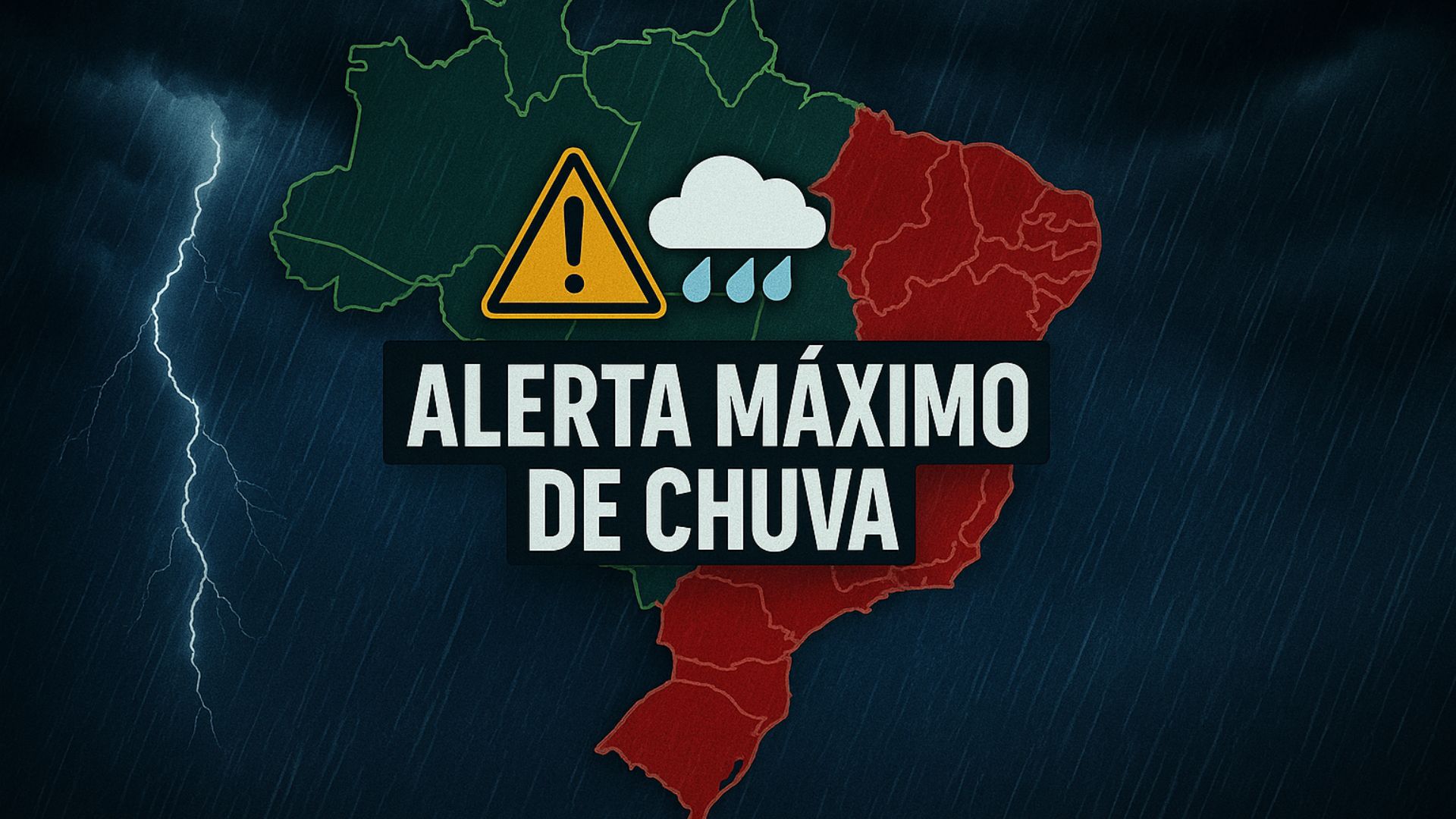
Weather forecast for Friday, December 12, 2025
Southern Region – (RS, SC, PR): heavy rains and risk of storms
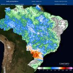
The presence of a low-pressure system in Paraguay is causing rain showers from the beginning of the day in Paraná, Santa Catarina, and northern Rio Grande do Sul. There is a risk of moderate to heavy showers and thunderstorms, with an extreme alert in southwestern Paraná, where instability lines, microbursts, hail, and even tornadoes may occur. The oceanic cold front is also generating moderate to heavy rain in central Rio Grande do Sul, Campanha, Costa Doce, Vale do Taquari, and the Porto Alegre metropolitan area. Temperatures will be high in most of the region, but milder in the west and interior. Winds will vary from 40 to 70 km/h, with stronger gusts in the far west of Santa Catarina and Paraná.
Southeast Region – (São Paulo, Rio de Janeiro, Minas Gerais, Espírito Santo): isolated thunderstorms and heat
The heat, humidity, and the presence of a meteorological trough are favoring showers from the start of the day in São Paulo and the Triângulo Mineiro region. Instability will intensify throughout the day, generating moderate to heavy rain and a risk of storms in São Paulo. In Rio de Janeiro, rainfall will increase inland; in Espírito Santo, instability will persist. Temperatures will remain high throughout the region.
Forecast for the City of São Paulo (SP) – This Friday (12/12), the state will again experience showers that will intensify in the afternoon. There is a chance of moderate to heavy rain and a risk of storms. The capital should receive rain between the afternoon and evening, with a high of 31 °C and muggy weather.
Central-West Region – (MT, MS, GO, DF): risk of severe weather in MS
Low pressure in Paraguay, combined with heat and humidity, is causing rain from early morning in Mato Grosso do Sul. In Mato Grosso and Goiás, rain will begin in the late morning and intensify in the afternoon, with moderate to heavy showers. In southern Mato Grosso do Sul, there is a risk of severe storms, microbursts, and tornadoes. The region remains muggy, with humidity between 40% and 70%, higher in the western parts of the states.
Northeast Region – (MA, PI, CE, RN, PB, PE, AL, SE, BA): rain in MA and PI; dry interior.
It is raining in Maranhão, northern and southern Piauí, and western Bahia, with moderate to heavy showers and a risk of storms in southern Maranhão. Rain is also occurring along the coast of Maranhão, Piauí, and Ceará. In the rest of the region, the weather remains stable, with high temperatures and humidity below 30% in the interior of Paraíba and Pernambuco. Coastal winds range between 40 and 50 km/h.
Northern Region – (AC, AM, RO, PA, RR, AP, TO): heavy rain in AP and PA
Rain showers continue in Amazonas, Acre, Rondônia, Pará, and Tocantins, with moderate to heavy rain and a risk of storms in northern and eastern Pará. In Roraima and northwestern Pará, the weather will be more stable. In Amapá, the rains will intensify and there is a risk of storms, with winds of 40 to 50 km/h. Temperatures will remain high.
Keep monitoring weather alerts and stay informed so you can act safely during storms.